Conservation Ontario Facebook Twitter Instagram Watershed Views Member Login >
  • Careers
  • Resources
  • Contact Us
  • Find a Conservation Authority
  • Visit a Conservation Area
  • Watersheds 101
  • About Us
    • Conservation Ontario
    • COVID-19 Update
    • Staff and Board of Directors
    • Annual Report
    • Watershed Views Blog
    • Newsroom
    • Location
  • Conservation Authorities
    • About Conservation Authorities
      • History of Conservation Authorities
    • Find a Conservation Authority
    • Watershed Management
    • Flood & Erosion Management
      • Flood Messages
      • Floodplain Mapping
      • Flood Modelling & Mapping Workshop
      • Ontario Flood Risk Management Workshop
      • Flood Forecasting and Warning Workshop
    • Planning and Regulations
      • Land Use Planning
      • Conservation Authorities Act - Section 28 Regulations
      • Class Environmental Assessment
      • Sustainable Stormwater Planning
    • Source Water Protection
      • Source Protection Plans and Resources
      • Risk Management Services
      • History
    • Watershed Stewardship
      • Watershed Stewardship Programs
      • Partners in Watershed Stewardship
      • Invasive Species
      • Aquatic Species at Risk
    • Conservation Lands
    • Environmental Education
    • Webinars
    • Partner Events
      • Rekindle The Sparks
      • Conservation Areas Workshop
    • Volunteer and Donate
  • Policy Priorities
    • Conservation Authorities Act
    • Planning and Regulations
      • Client Service & Streamlining Initiative
    • Re-Imagining the Value of Nature
    • Integrated Watershed Management
      • Lessons Learned
    • Climate Change
      • Mitigation and Adaptation
      • Nature-based Climate Solutions
      • Input to Provincial Strategies
    • Flood Management
      • Conservation Authority Flood Management
      • Flood Business Case
    • Science and Information Management
      • Watershed Reporting
    • Great Lakes
      • Integrated Watershed Management and the Great Lakes
      • Nearshore Monitoring
      • Great Lakes Protection Act, 2015
    • EcoHealth
    • Green Economy
    • Clean Water Act
  • Step into Nature
    • Conservation Areas
    • Benefits of Nature

March 5-6, 2019

Flood Modelling & Mapping Knowledge Transfer Workshop
leftright

Flood Modelling and Mapping Knowledge Transfer Workshop

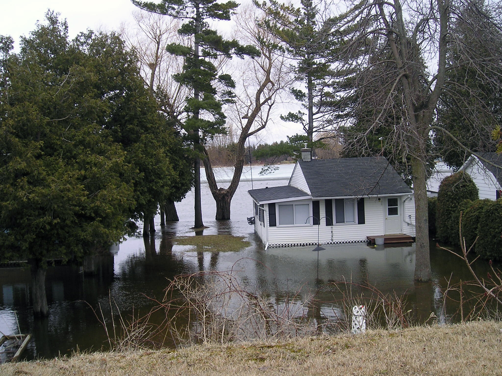
The 2019 Flood Modelling and Mapping Knowledge Transfer Workshop examined the status of floodplain mapping in Ontario. The workshop was hosted by Conservation Ontario, the Ministry of Natural Resources and Forestry, Natural Resources Canada, Canadian Water Resources Association, Grand River Conservation Authority and the Toronto and Region Conservation Authority.

AGENDA

DAY 1 - MARCH 5
Presentations

  • Keynote: Tamsin Lyle, ebbwater Consulting: An evolution in flood management: an optimistic view from the left coast
  • Flood Mapping Activities and Web-Based Flood Risk Assessment (ER2), Heather McGrath & Tina Lindsay, NRCAN
  • Canadian Surface Prediction Archive (CaSPAr) of ECCC Numerical Weather Predictions, Bryan Tolson, University of Waterloo
  • Working with Municipal Partners, Laurie Nelson, TRCA
  • USACE Update, William Scharffenberg, USACE
  • Introduction to Bathymetric LIDAR, Dushan Arumugam, Geomatic Data Solutions (GDS)
  • Large Scale Riverine Bathymetric LIDAR Collection and Application to Floodplain Mapping, Scott Robertson, GRCA
  • Communicating Flood Risk - The Data Management Considerations, George Sousa, GRCA
  • Information needs and formats Provincial Emergency Operations Centre, John Galea, Emergency Management Ontario
  • Flood Risk Assessment and Ranking of flood vulnerable clusters, Nathan Plato, TRCA


DAY 2 - MARCH 6
Presentations

  • Update on Floodplain Mapping and Flood Forecasting Program in Alberta, Bryce Haimila , Alberta Environment and Parks
  • Hydraulic Models, Extreme Events and Flow Monitoring, Stephanie Shifflett, GRCA
  • CVC Floodplain Mapping Program Update, Jing Liu & John Sinnige, CVC
  • (Hydrology) Modelling the Idiosyncrasies of the Don River Watershed, Wilfred Ho, TRCA
  • Floodplain Mapping Update Process in UTRCA, Mark Shifflett, UTRCA
  • The Development of Churchill River Flood Forecasting Service to Support Open Water, Ice Formation and Ice Breakup Flood Risks, Steven McArdle, 4DM & Ali Khan, Newfoundland
  • Forecasting Flood Innundation - Real-Time Transfer of Forecast Flows from HEC-HMS into HEC-RAS, Nicolas Keast, Greenland/Grey-Sauble
  • Partnerships to Enhance Ottawa River Flood Forecasting: Response to Historic 2017 Flood, Raymond Co & Omar Kana'n, South Nation CA
  • Panel: Dwight Boyd (GRCA), Sameer Dhalla (TRCA), John Sinnige (CVC), Bill Scharfenberg (USACE), Scott Robertson (GRCA)
Conservation Ontario
  • Privacy Policy
  • Terms of Use
  • Accessibility
  • Site Map
  • Careers
  • Contact
Copyright © 2023 Conservation Ontario. All rights reserved | Website Design by Design for Good