Ontario's Watershed Report Cards

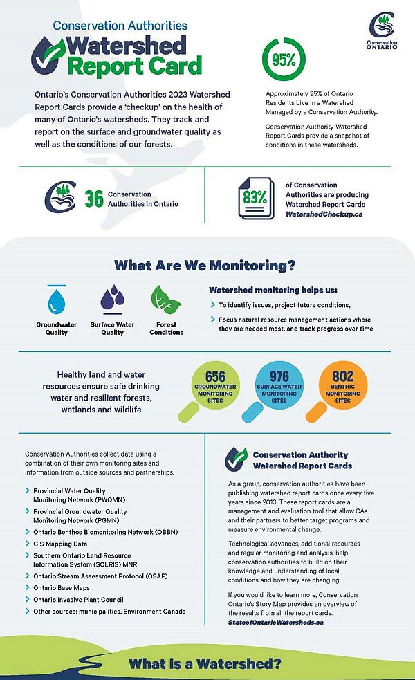
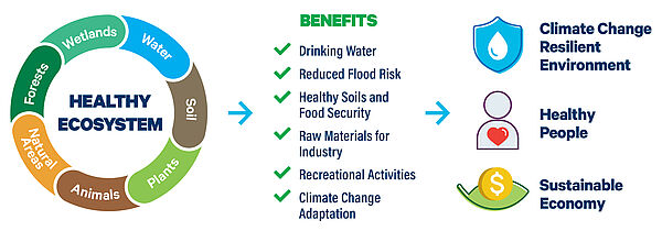
Conservation Authorities are reporting on the state of some of Ontario’s most essential resources that we rely on every day: surface water quality, groundwater quality and forest conditions. Ontario’s lakes, rivers, streams, groundwater, forests, wetlands and other natural ecosystems contribute to our health and well-being. They provide safe drinking water sources, filter pollutants, improve air quality, and prevent flooding and erosion.
These indicators reflect watershed conditions impacted by a wide variety of stressors, such as rapid urbanization, changing land uses and climate change. They help us to understand the reality of watershed conditions we face, identifying areas to protect and issues to address.
The watershed report cards are developed every five years using Conservation Ontario’s guide to Developing Conservation Authority Watershed Report Cards.
What are Conservation Authorities doing about it?
Conservation Authority watershed management programs can be used to help improve conditions or at least prevent them from getting any worse.
Conservation Authorities can use the report cards to target actions to address issues. However, this requires a collaborative effort among many different partners – all levels of government, agencies, landowners and residents.


